

Tanzania and China have agreed to expand mining sector cooperation, with China preparing grant funding to support a high-resolution airborne geophysical survey covering Dodoma, Tabora, Singida and Shinyanga regions.
The cooperation was discussed on 11 September 2026 in Tianjin, China, during a meeting between Tanzania’s Minister for Minerals Anthony Mavunde and China’s Deputy Minister for Natural Resources Dr. Xu Dachun, who is also President of the China Geological Survey (CGS).
The discussions covered geological exploration, capacity building for Tanzanian specialists, mineral exploration data interpretation, mining technology and the exchange of expertise between the two countries.

Mavunde said China, through CGS, has agreed to support capacity building for Tanzanian experts in geology and the interpretation of mineral exploration data.
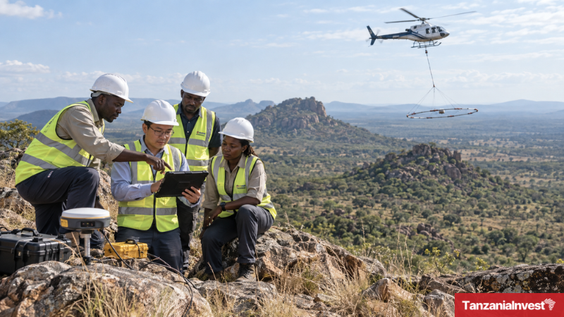
China is also preparing to cooperate with Tanzania through grant funding for a high-resolution airborne geophysical survey of the Central Block, covering the regions of Dodoma, Tabora, Singida and Shinyanga.
The two sides also discussed the exchange of expertise in the application of technology to mining activities, including cooperation related to strengthening mineral licensing systems.
Mavunde said the government is prioritising geological exploration as part of its plans to increase the contribution of mining to Tanzania’s economy.
“The ambition of our President, Dr. Samia Suluhu Hassan, is to see the mining sector grow and increase its contribution to our country’s economy. That is why the President has given the mining sector high priority, especially in geological research, in order to increase mining productivity and benefits for the citizens of our nation and the economy as a whole,” Mavunde said.

For his part, Xu stressed that Tanzania has mineral investment opportunities, while China has technology and capital, providing a basis for cooperation between the two countries.
High-Resolution Airborne Geophysical Surveys in Tanzania
Tanzania has been expanding high-resolution airborne geophysical surveying to generate more detailed geological information for mineral exploration.
The Ministry of Minerals has previously reported that high-resolution airborne geophysical surveys covered 16% of the country, compared with 100% coverage by lower-resolution surveys.
The government subsequently set a target to increase high-resolution airborne geophysical survey coverage to 34% of Tanzania by 2026 and at least 50% by 2030.
The Geological Survey of Tanzania (GST) is responsible for geological and mineral resource surveys and the development of geoscientific information used to support mineral exploration and investment in the country.
Want to know more about Mining in Tanzania? Our free overview of the Tanzania Business and Investment Guide 2026 covers Mining, plus key sectors and investment opportunities. The complete 141-page edition includes policies, taxation, key regulations, full macroeconomic data, and sources, and is also available at no cost upon completion of a short form.
Download Free OverviewGet the Full Edition for Free